TeroCrop
What is TeroCrop?
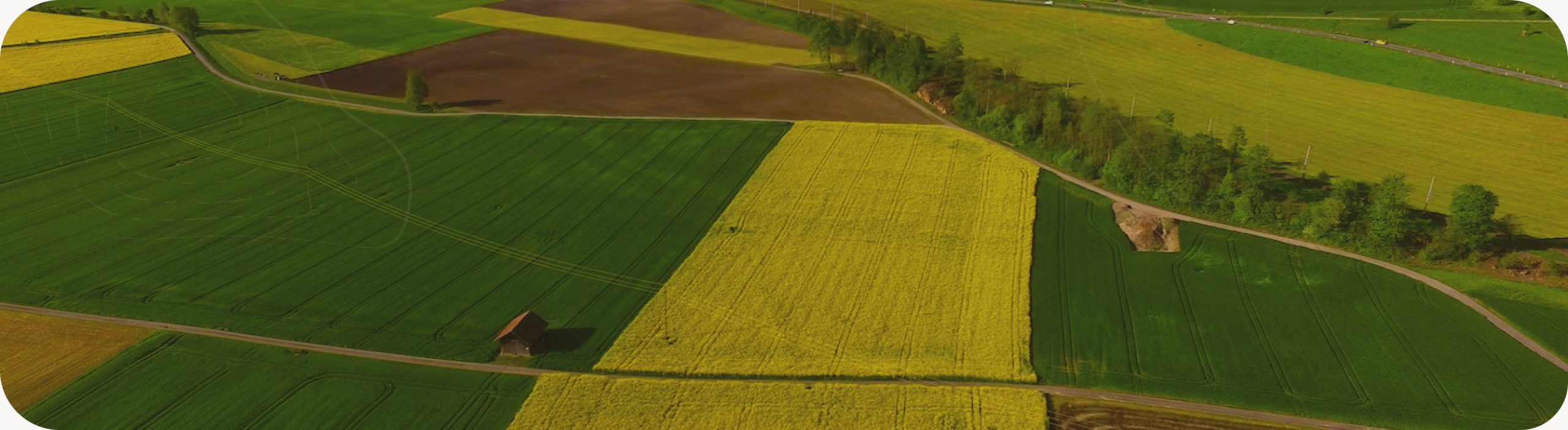
- TeroCrop is a web platform focused on precision agriculture.
- The platform aims to facilitate the management of a crop, allowing quick and evidence-based decisions, with the help of several sensors in the field and UAV devices.
How TeroCrop works?
- The platform consists of a user-friendly interface with two main sections:
- A dashboard fed by multiple sensors in the field, capable of making continuous measurements of soil data such as humidity and temperature, and atmospheric data as air temperature, rain, sunlight, wind, among others. Those data and its historic can be accessed in real time, anywhere.
- A mapping area which provides various plant and soil indices (e.g. NDVI) for the entire crop, obtained in a smart and efficient way by using UAV devices. Here it is possible to navigate between flights and evaluate the evolution of the crop between them. This part also displays georeferenced data collected in the field. To facilitate the visualization, multiple geographic representations can be superimposed, such as rasters, polygons, lines or points
Benefits
- The purpose of the platform is to increase the efficiency of agricultural management, with non-evasive methodologies that allow to make evidence-based decisions with the help of data collected in real-time.
- With the platform, it is possible to improve the quality of the crop and its products.
- The platform also has a positive effect on the environment, leading to an accurate decision on when to water the crop and helping to identify where the needs are most relevant.
Want to know more?
We would love to help and introduce TeroCrop to you. Please leave a message, and wait for our contact.