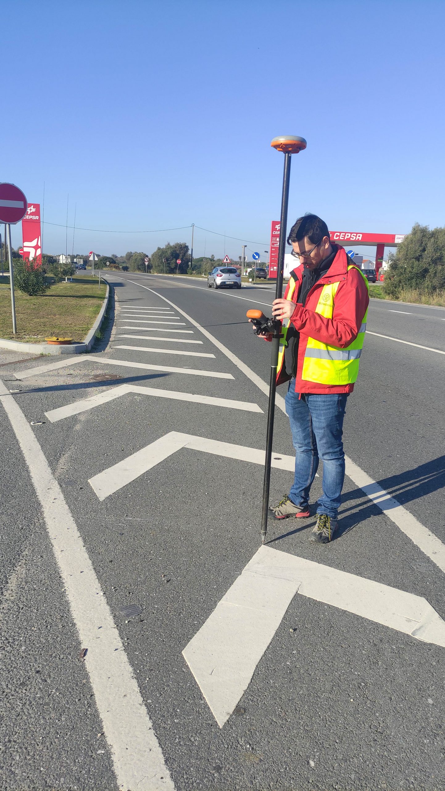
TeroMovigo undertook a project on the EN 125 road in Portugal to create detailed cartography for noise map studies. The tasks included measuring ground control points, capturing data via helicopter, aerial triangulation, vectorization, classification, field validation, PostgreSQL/PostGIS data conversion, and creating cartography for Homologation (NdD2).
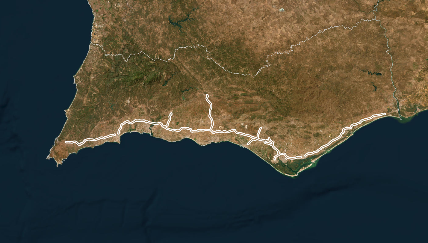
The project spanned 190 kilometers, covering 11 150 hectares. This extensive coverage was crucial for accurate noise map studies, essential for infrastructure planning and environmental impact assessments.
TeroMovigo used an helicopter for data capture, ensuring high-resolution imagery. Aerial triangulation and vectorization were meticulously executed, and data classification was vital for identifying features like roads, buildings, and vegetation.
Field validation ensured the cartographic data accurately represented the ground reality. Data was converted to PostgreSQL/PostGIS format for efficient storage and management. The final step involved creating cartography for Homologation (NdD2), ensuring regulatory compliance for noise map studies and infrastructure planning.