The Earth’s gravity field shows small spatial variations that provide information about the density of the rocks underneath the surface. It is also the reason that mean sea level is not a perfect ellipsoid but deviates from it by around ±100 m globally. We offer services to perform gravity campaigns by land or drone and derive from them local or regional geoid models.
Services
Terrestrial gravity campaigns
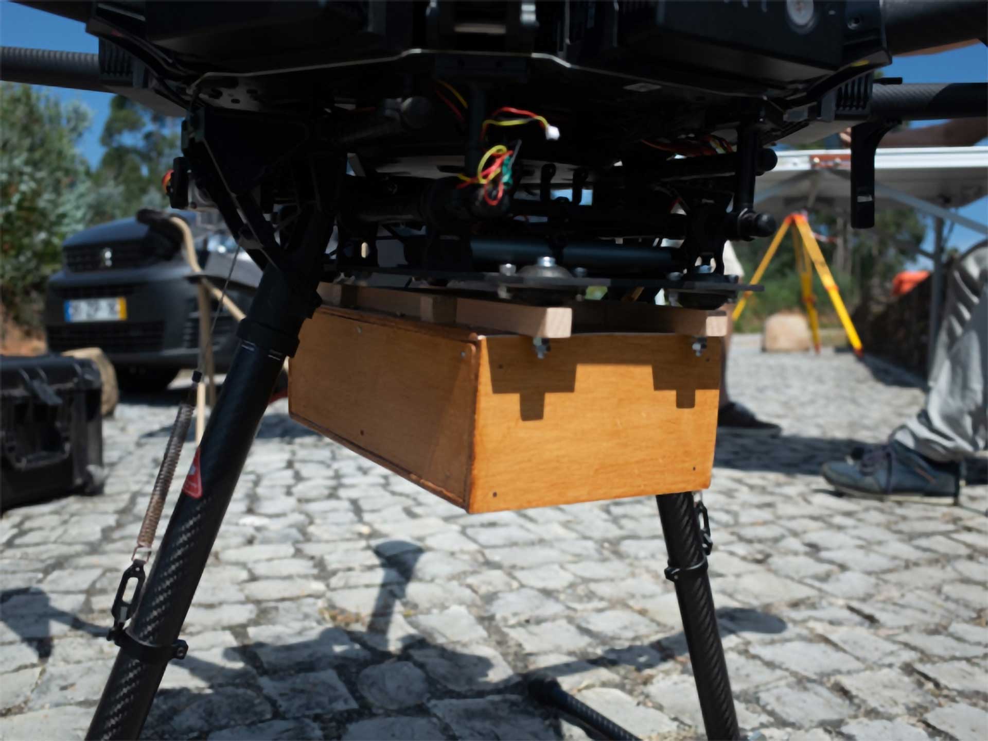
Drone gravity campaigns
Local/Regional geoid modelling
ESA-BIC
Project
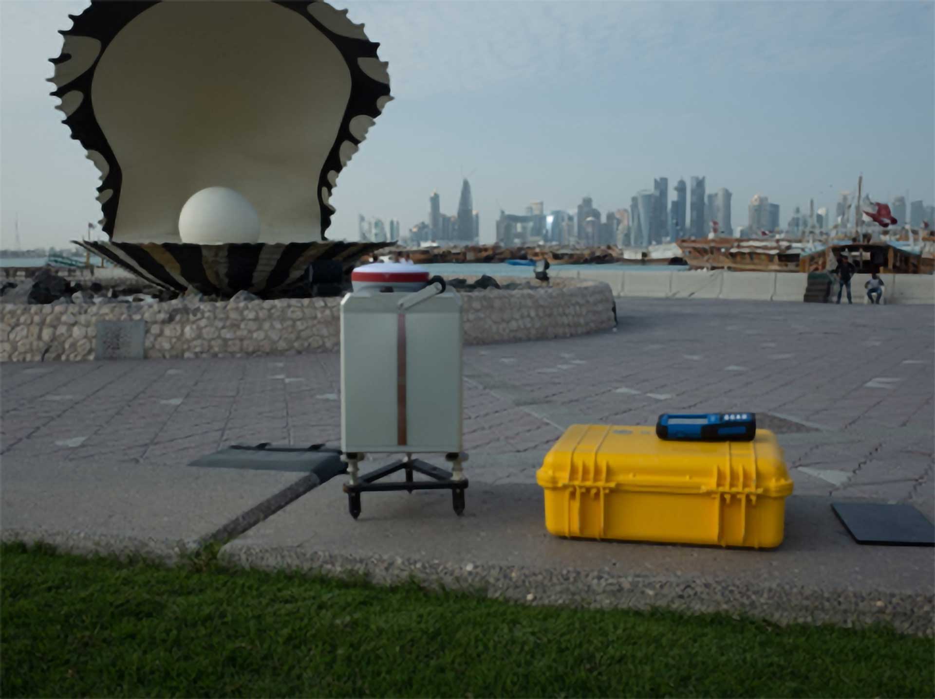
Qatar
Project
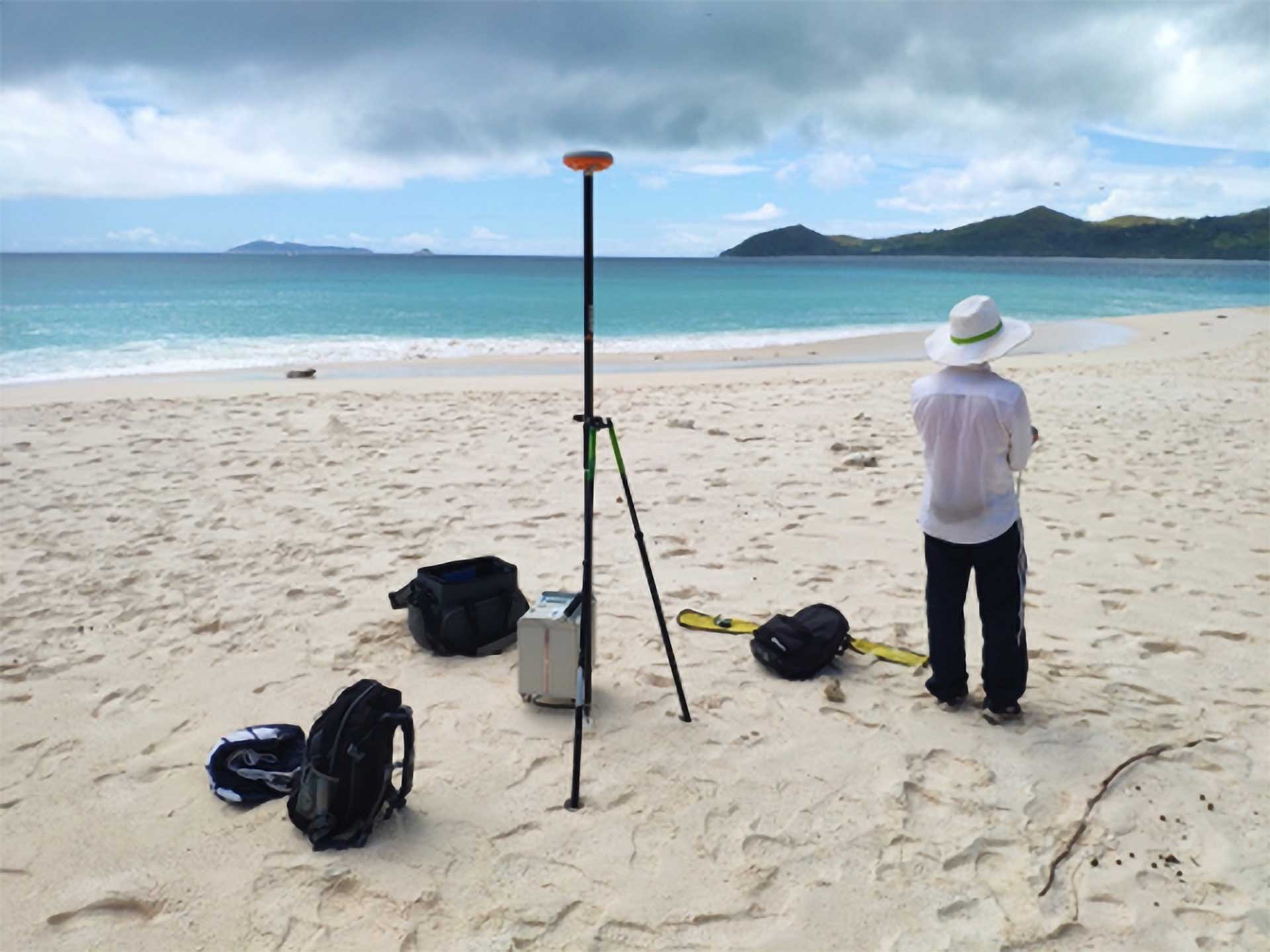
Seychelles
Project
Tell us about your project, we are here to help you!