MENU
Mapping
Geodesy
Gravity
Sensing
R&D
EN
PT
about us
MENU
Mapping
Geodesy
Gravity
Sensing
R&D
EN
PT
about us
We offer aerial surveying, photogrammetry, cartographic production, and UAV data acquisition for highly accurate maps and spatial data.
Services
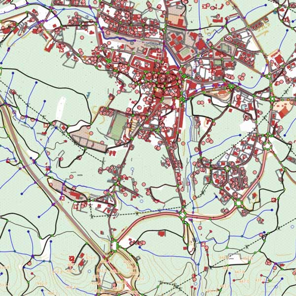
Cartography for Homologation (NdD1 and NdD2)
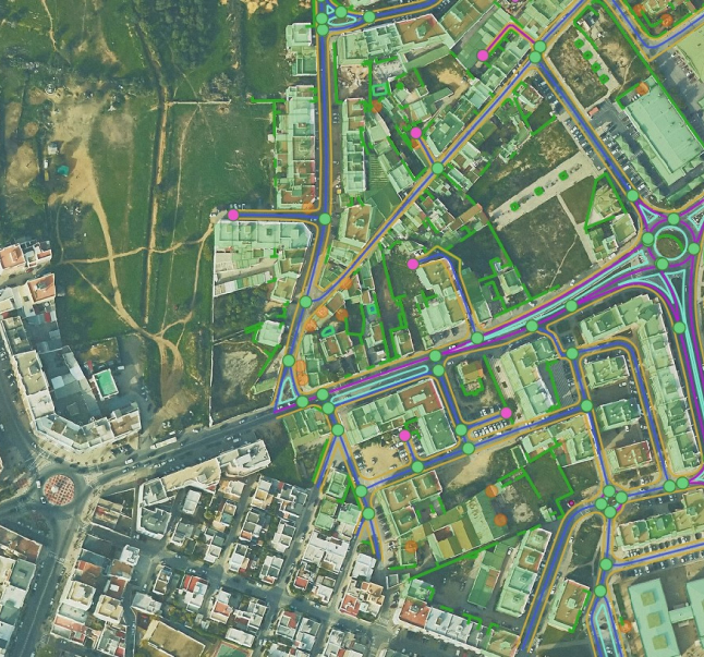
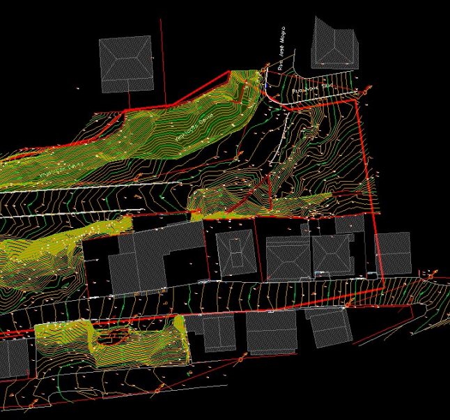
Topography
Monitoring
Bathymetry
Cadastre
Infrastructure Cadastre
GIS
Formation
Polynesia
Project
Proença-a-Nova NdD2 Cartography
Project
Olhão
Project
Quinta do Choupim
Project
IC1
Project
EN 125 NdD2 Cartography
Project
Improvement of Maritime Access – Setúbal Harbour
Project
Tell us about your project, we are here to help you!
Talk to our experts.
E:
info@teromovigo.com
T:
+351 239 098 176
flag
arrow-right
linkedin
facebook
pinterest
youtube
rss
twitter
instagram
facebook-blank
rss-blank
linkedin-blank
pinterest
youtube
twitter
instagram