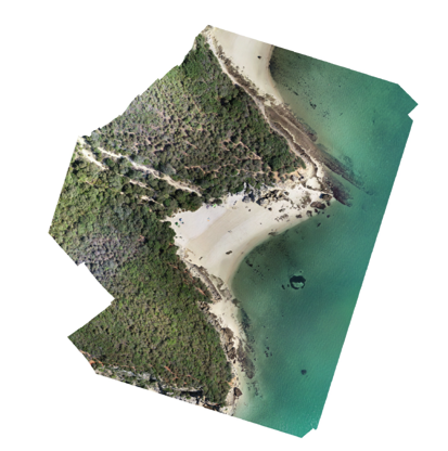
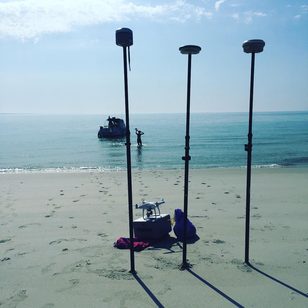
The port of Setúbal is located within the expansive estuary of the River Sado, along the Atlantic coast of Portugal, approximately 40 kilometers south of Lisbon. It serves as a significant industrial hub, equipped to handle a wide variety of cargo. Additionally, the port is home to a thriving fishing industry. The anchorage is both large and deep, providing a secure haven that is protected from the prevailing North winds by the Arrábida mountains. TeroMovigo played a crucial role in mapping the bathymetry of this harbor, which has led to improvements in marine aids to navigation within the ports of Setúbal and Sesimbra. This initiative was part of the Maritime Accessibility Improvement Project, aimed at ensuring safe navigation within harbors and access channels.