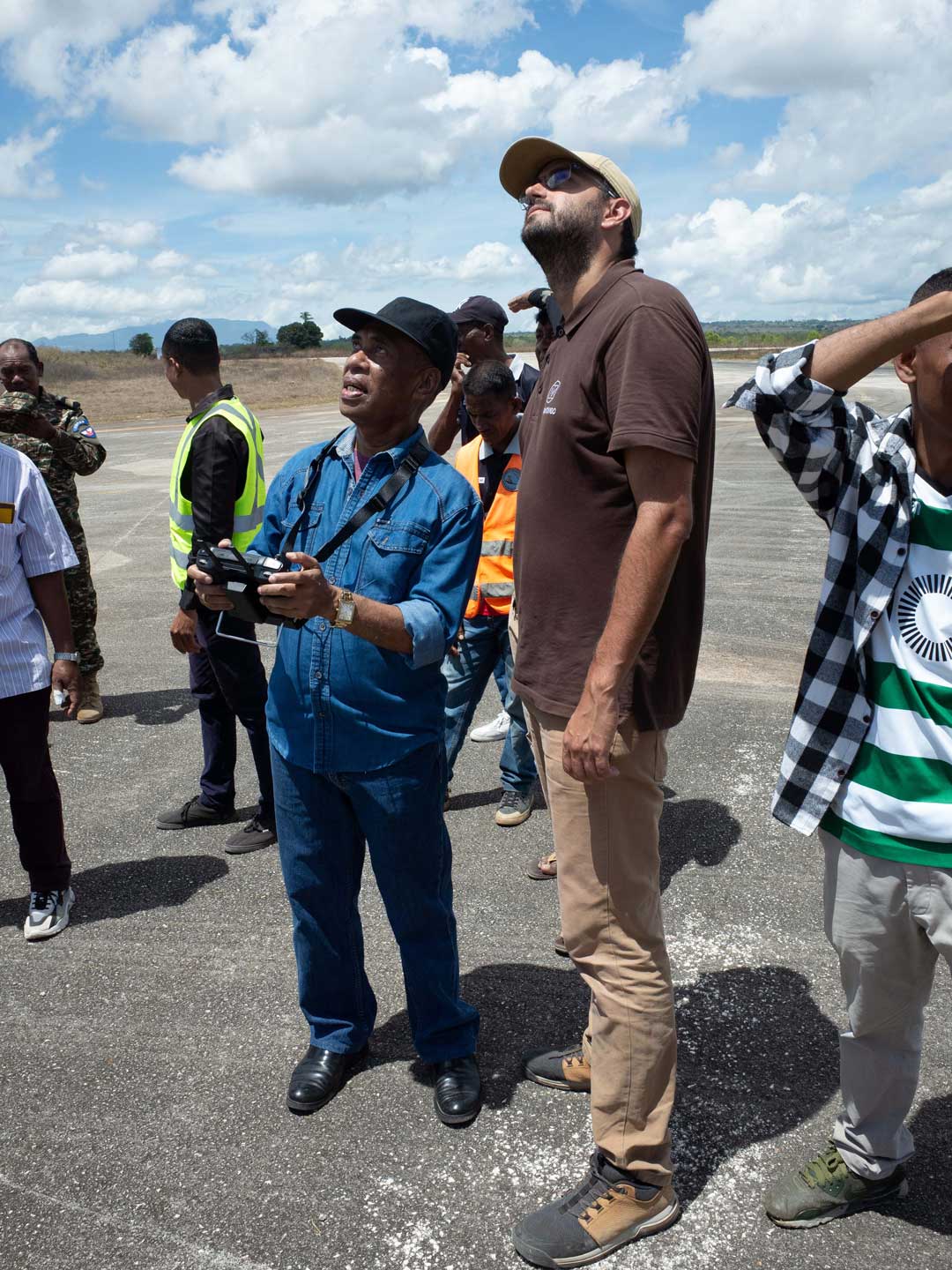
The National Directorate of Geospatial Data or DNDG (Portuguese Acronym) in East Timor has as main Objective to acquire, Organize, manage, produce and disseminate basic and thematic geospatial data for sustainable development. To achieve this objective, DNDG opened a call to acquire drones and capacity building to operate the equipment, collect and analyze data.
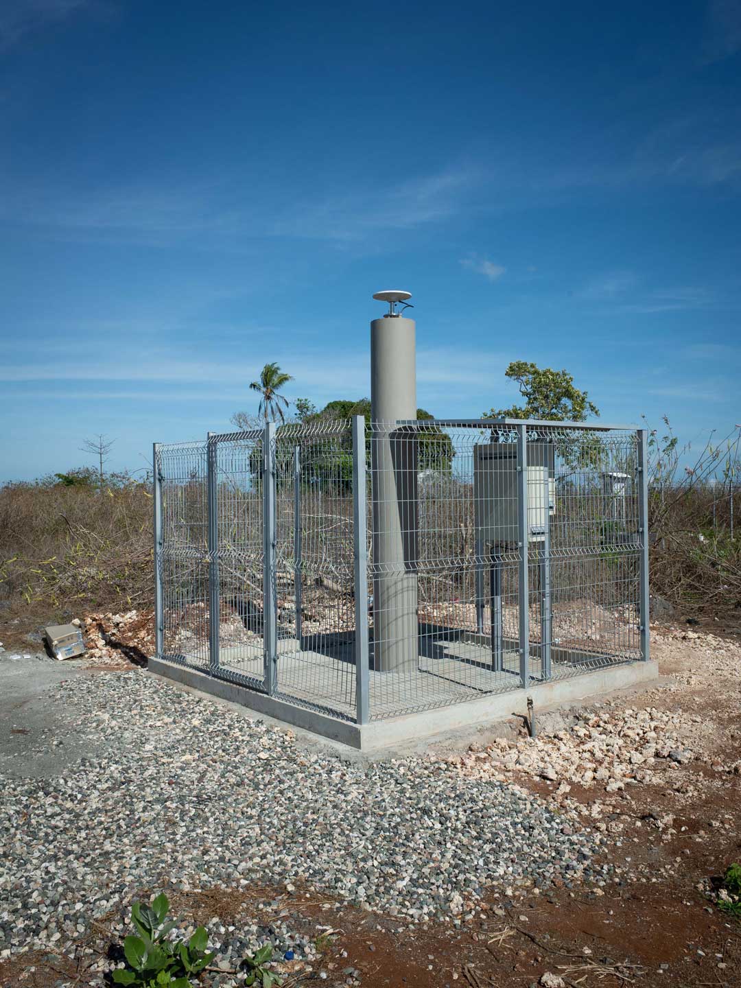
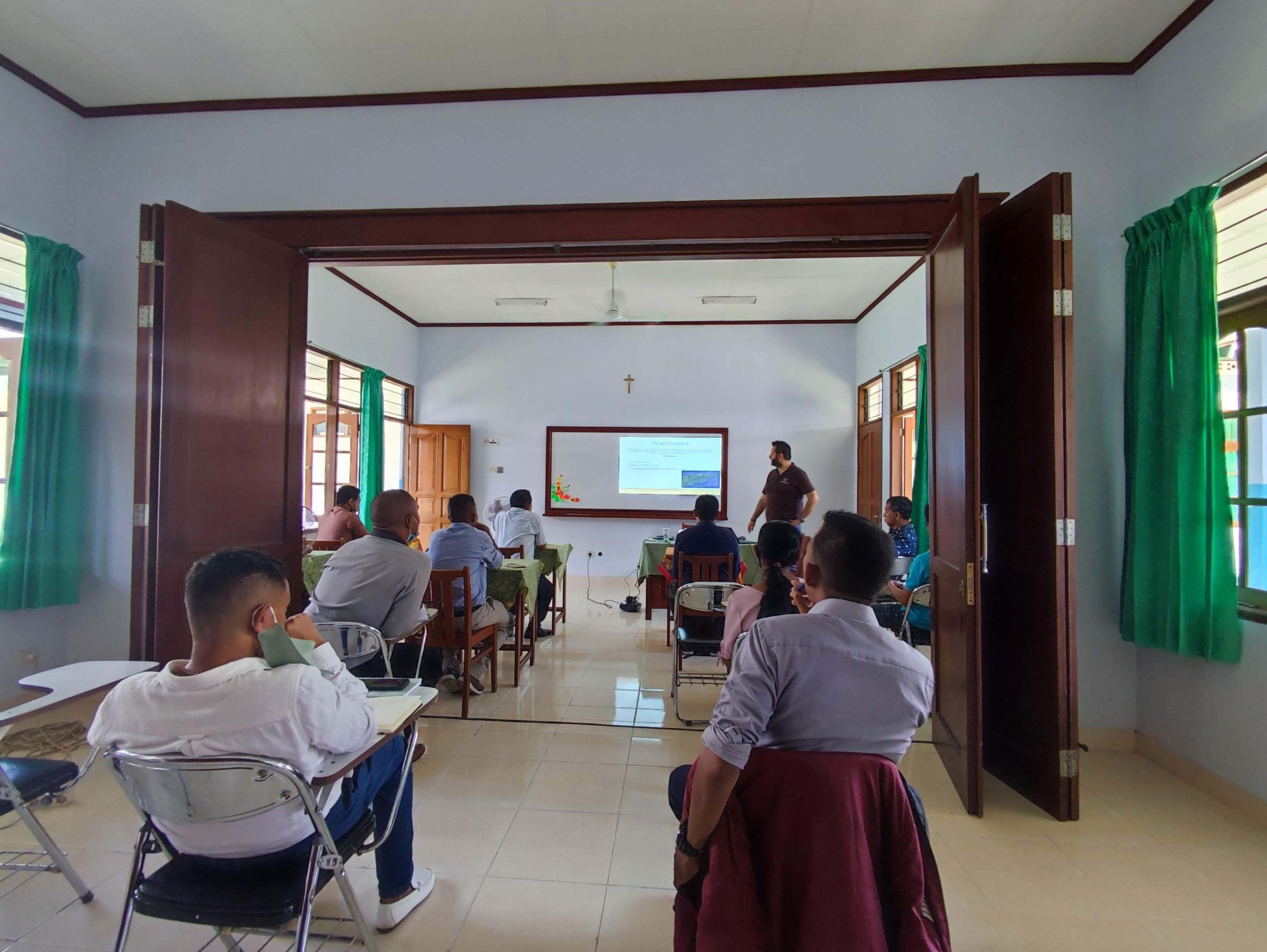
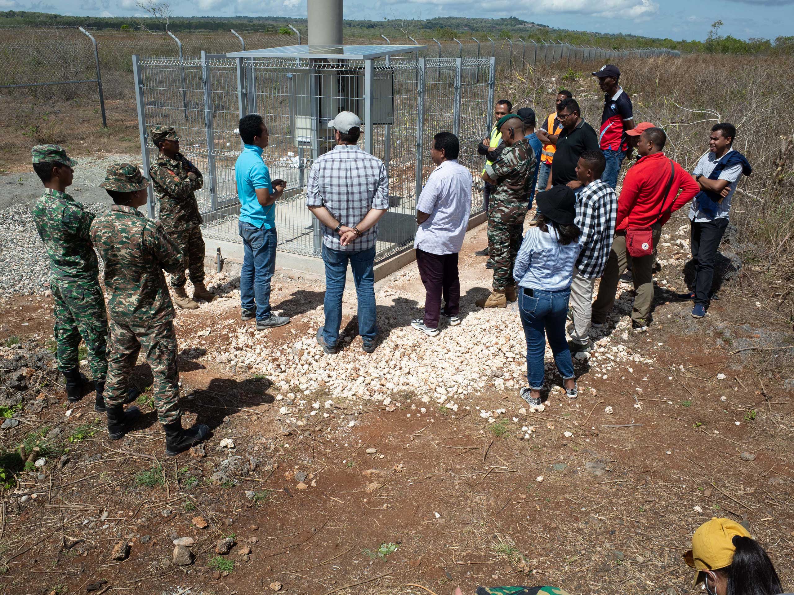
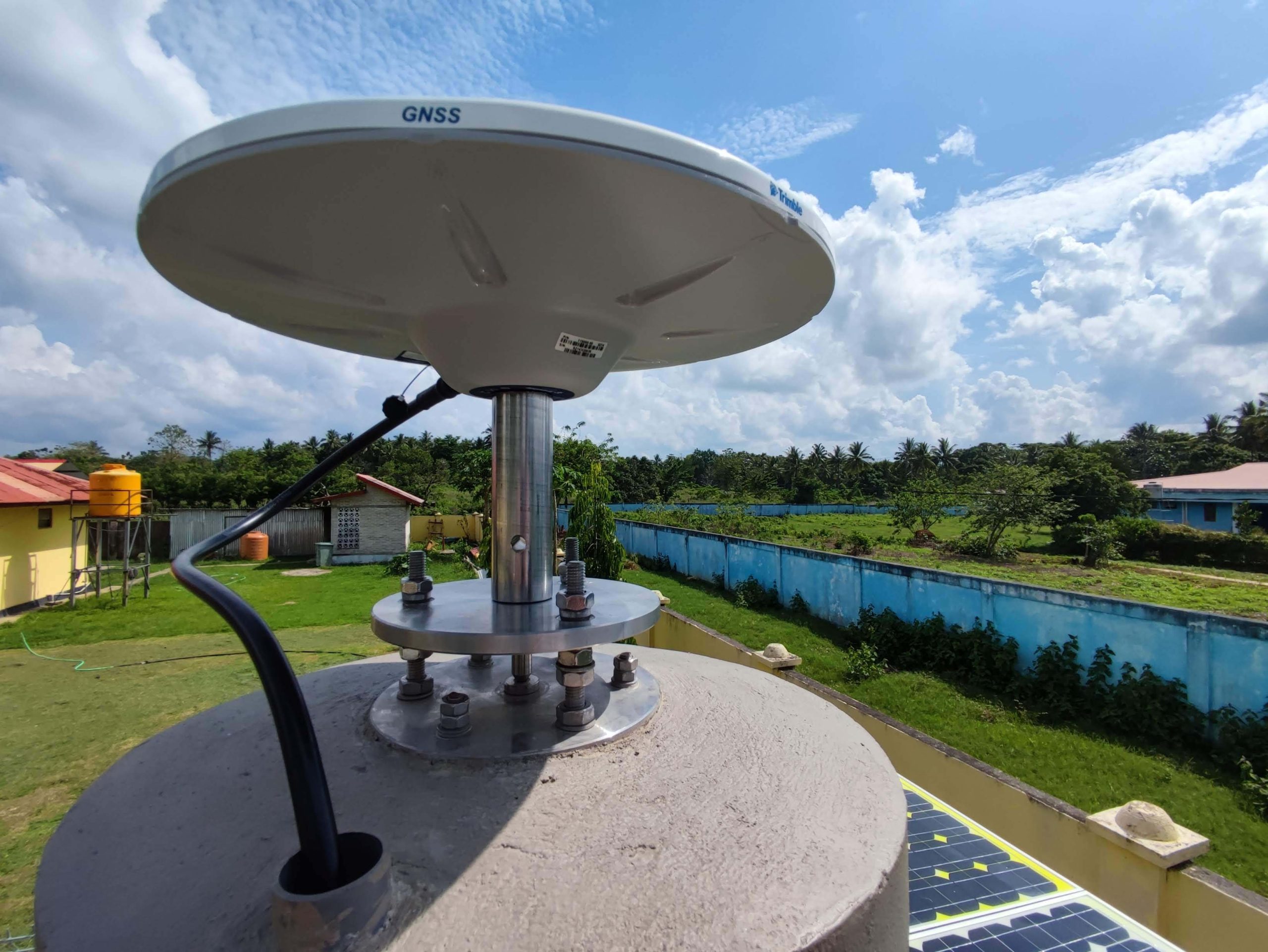
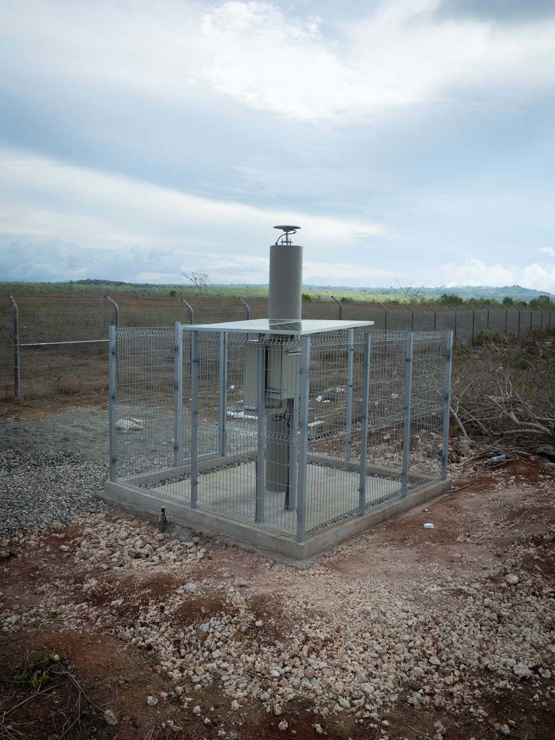
In addition, to support the spatial planning and strategic development, DNDG has the task to update, collect, manage and disseminate geospatial data. Therefore, it requested the construction of 8 new CORS. TeroMovigo has provided the drones and the associated training on how to handle them and to analyse the data. Furtermore, we have helped in the selection of the 8 new sites and supervised the construction of the pillars, technical boxes and solar panels. TeroMovigo performed the installation and configuration of the GNSS receiver and antenna and the routers. Finally, we provided to the staff of DNDG training to maintain these CORS, how to work with GNSS RTK data and how to compute from the daily GNSS data positions with use of the GAMIT/GLOBK software.